Hello, I would like a feature to download an offline area and see it on my vivoactive 4 without the option to download along a route.
Eg:
I know that the space on the device is limited, but maybe an estimation of how much space is available and how much is the map.
Thank you.
1 Like
Hi,
Thanks for taking the time to ask. I did a quick back of the envelope calculation .
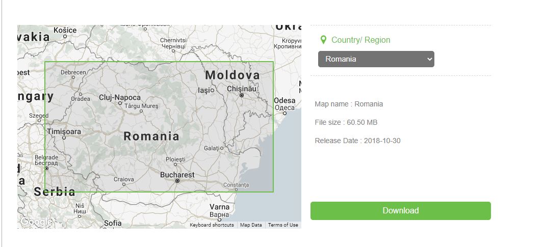
Romania is 238 billion square metres and each map tile is around 1000 square metres. This gives around 23.8 million tiles.
For reference a typical 50k route will load up to 1000 tiles, so we’re talking huge orders of magnitude extra data.
A low memory watch can store about 800 tiles before it runs out of working memory (each tile takes up a tiny amount of working memory along with permanent storage).
The conclusion is that loading even a small area is unfeasible, sorry.
David
No problem, I wasnt looking at the whole country (which was an example), was thinking of an area. But I understand.
Thanks for you time.
I think this would be a killer feature. I have Garmin Epix gen 2 with 32 gigs and it uses about 10 gigs for all north America and Europe topo maps. My wife has a Venus 2 plus which has no local maps and with a way smaller storage capacity - about 4 gigs available. However, I think it would be totally doable for smaller maps; for example, the Garmin Canada topo map file is about + - 1.3 gig, which in this case would fit/run on Venu 2. We just need an app that can work with stored maps, but can’t find it - every app out there works by downloading map images associated with the downloaded routes. But many (MANY) of us users just want also to browse a map, and see what’s nearby, figure out route options on the fly, etc. Mappily is a fantastic app, but downloading image after image is a subpar experience, which I believe could be relatively easy to improve by being able to open and display locally stored .img files. Yes, it would have to be smaller maps, but still, it would be 1000% better experience than downloading images with slow refreshes and depending on cell coverage… Add this feature to the paid version, and I would pay 10 times the price to get it! No app is doing this right now, and I believe there is a big demand for it! Just my feedback. Good luck and thanks.
Flavio
It’s a great idea, but unfortunately each app only gets access to about 1MB, perhaps slightly less, of storage and a similar amount of working memory. This is limited directly by Garmin, which is why you won’t find an app that does uses that strategy.
Also, although you can display a bitmap on the screen, you cannot rotate it, so it can’t be used as a map unless you always have North Up. This is very limiting. Mappily does it a little differently to work around some of these limitations, but there a compromises to be made.
Thanks for the suggestion though and hope you enjoy using the app.
Hopefully they might expand what each app can do in the future.
It’s about time someone started producing third party firmware for Garmin devices to not only enable the features that Garmin disable on certain devices (in order for people to purchase the more expensive devices!!), but also allow apps to take advantage of all onboard storage capacity rather than this daft 1mb limit - 1mb? Are we living back in the 1980’s!